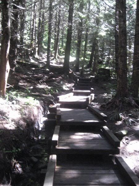
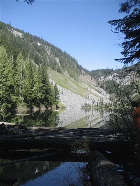
Now, I'm not one to complain too much, usually, but the first mile or two of this trail was VERY disappointing. I hear so much blabber from the hippies about how us off-roaders tear up the environment, but I could have easily driven my truck the first mile or two of this trail without issue. It was so muddy and ripped up from over-use it was almost embarassing. By this time we broke out onto the first lake, Talapus Lake. Which was a nice break from the "Weekend Warrior" hikers and the muddy trenches.
You can see the head f another hiker on the side of the picture, his friend was climbing on the log next to him and fell off splashing us all with mud, it was an impressive trick!
After wiping the mud from our faces, we continued up the trail to Olallie Lake for a little snack and to take in some Vitamin D. I changed my shirt hear as my other was soaking wet. Some how I managed to not get a good seal on the hose connection for my water bladder and so it leaked through my pack and my back. So thankfully the sun was out and dried my pack and shirt quickly and I "fixed the glitch" before heading up the trail.
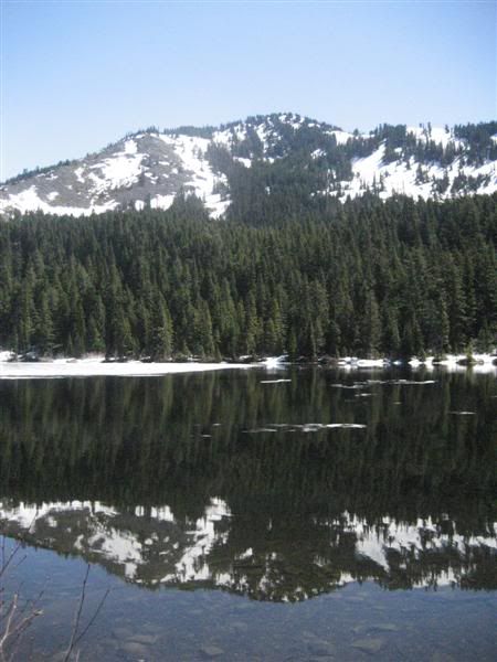
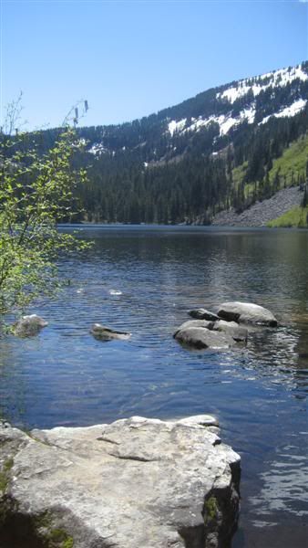
Looking south from the north end of Olallie Lake. Mt Rainier in the distance, somewhere.
At the north end of Olallie Lake is a campground, which we check out for future camping options. At this point we turned around as we realized we missed the turn for the Pratt Lake trail. on our way back maybe 1/4 mile we ran into a ranger and her husband. I asked them how much further back the trail junction was, she then gave us a big break and said there was a shortcut at the north end of the lake where we were just at! We had seen a faint trail, but figured it was nothing. This cut out a good portion of back-tracking that was going to happen. It was a steep short climb up to the main trail and on to Pratt Lake.
At the top there is a fantastic view of Mt. Rainier over Olallie lake, I wish I had my camera setup a little better, it was such a clear view!
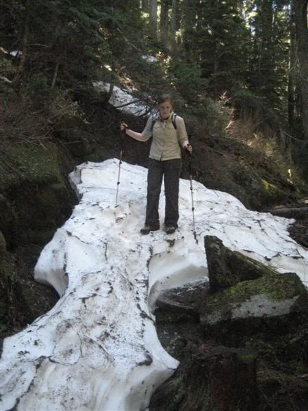
At this point the trail dives off the back side of the ridge heading toward Pratt Lake, a 700ft decline into the lake. This part of the trail hardly gets any snow as evident by the 3-4 ft in spots and having to traverse snow banks that are packed in tight against the hillside.
Here's Kristin on top of one of the many snow packs we encountered.
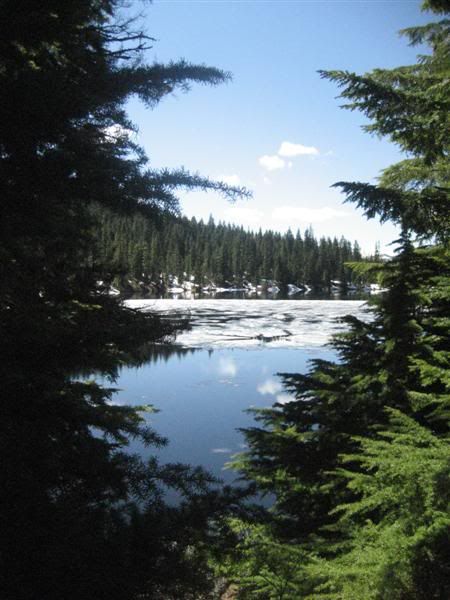
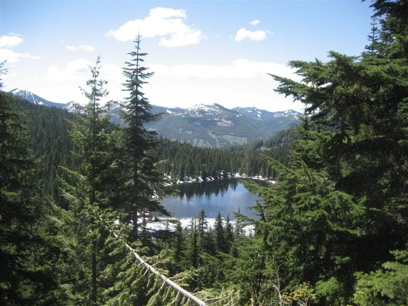
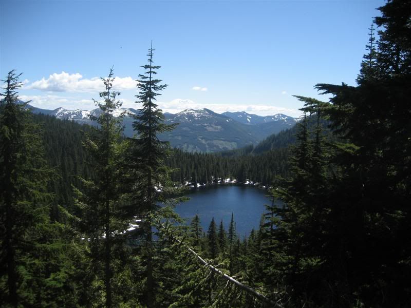
There is a lake down there!
After snaking down into the valley the lake is now in front of us.
Looking back up at the trail we came down.
We walked to the north end of the lake and had lunch, squished sandwiches, jalepeno chips, 1/2 Snickers bar and some Pepsi!
Once we were re-fueled, we headed back up the trail. Kristin had bought some trekking poles and we have been going back and forth about how many poles to use, this is where we decided. I normally don't use trekking poles, and she was using two. So I asked to use one of hers for the trail out. I actually enjoyed using it. I had tried using two poles in the past and hated it, too much work and it takes my attention away from the sights and smells of the great outdoors! She also agreed that one pole was a good way to travel. It's just enough to keep you stable in certain situations, but not totally distract you.
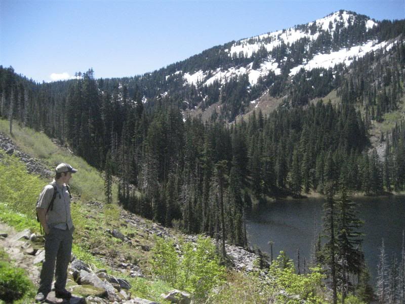
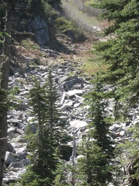
Can you spot the hikers? That's where we're headed!
Snow patches in the trees.
A litle better picture later in the day about Olallie Lake, you can sort of make out Mt. Rainier now. Such a view!
And this is the junction we missed on the way up the trail around the east side of Olallie Lake. The bridge had been washed out over the winter. You can see where the bridge used to be in the bottom right of the picture.
Once we got to the car, we headed for BBQ at my parents house. A good way to end any day of hiking!
Hike Stats:
Total Distance: 11 miles roundtrip.
Elevation Gain: 2,400', 700' out.



No comments:
Post a Comment