Monday, August 30, 2010

3 Lakes, 2 Hikers, 1 Day. 6-12-10

I know I'm now getting my stories out of order, but it's for the best. Kristin and I decided to take a trip east on I-90 towards Snoqualmie Pass. Pratt Lake was our destination, visiting Talapus and Olallie lakes on the way. We started out fairly early, but still had to park on the side of the road, just down from the parking lot. We started heading up the trail after lacing up the new Asolo Fugitves (Sure beats wearing an 11 year old pair of Danner's!)


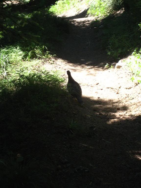
Now, I'm not one to complain too much, usually, but the first mile or two of this trail was VERY disappointing. I hear so much blabber from the hippies about how us off-roaders tear up the environment, but I could have easily driven my truck the first mile or two of this trail without issue. It was so muddy and ripped up from over-use it was almost embarassing. By this time we broke out onto the first lake, Talapus Lake. Which was a nice break from the "Weekend Warrior" hikers and the muddy trenches.

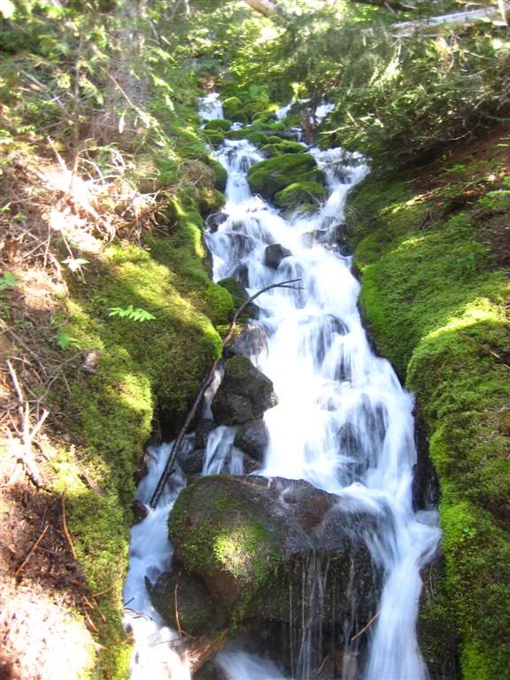
You can see the head f another hiker on the side of the picture, his friend was climbing on the log next to him and fell off splashing us all with mud, it was an impressive trick!


After wiping the mud from our faces, we continued up the trail to Olallie Lake for a little snack and to take in some Vitamin D. I changed my shirt hear as my other was soaking wet. Some how I managed to not get a good seal on the hose connection for my water bladder and so it leaked through my pack and my back. So thankfully the sun was out and dried my pack and shirt quickly and I "fixed the glitch" before heading up the trail.
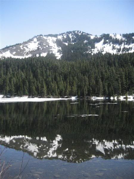
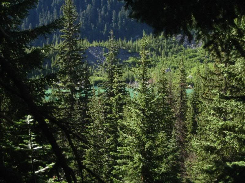
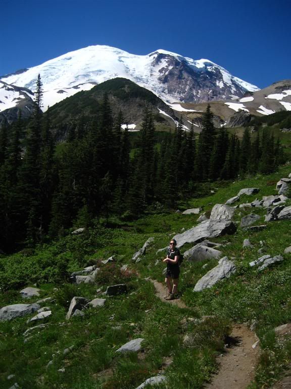
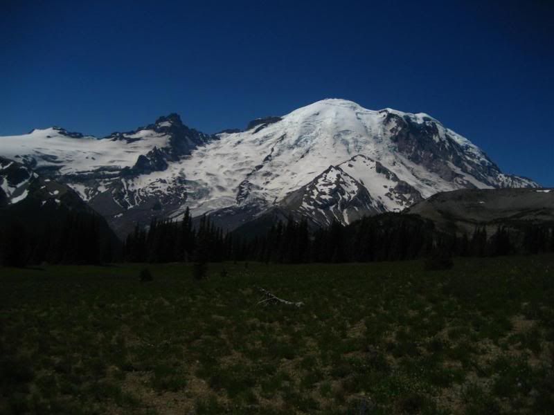
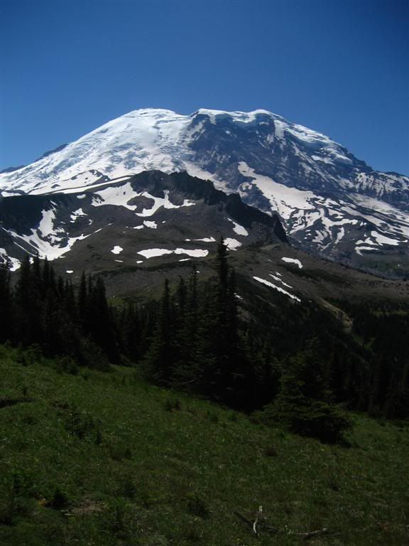
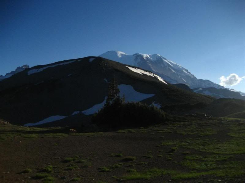
Looking south from the north end of Olallie Lake. Mt Rainier in the distance, somewhere.

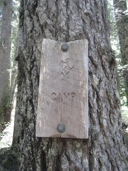
At the north end of Olallie Lake is a campground, which we check out for future camping options. At this point we turned around as we realized we missed the turn for the Pratt Lake trail. on our way back maybe 1/4 mile we ran into a ranger and her husband. I asked them how much further back the trail junction was, she then gave us a big break and said there was a shortcut at the north end of the lake where we were just at! We had seen a faint trail, but figured it was nothing. This cut out a good portion of back-tracking that was going to happen. It was a steep short climb up to the main trail and on to Pratt Lake.

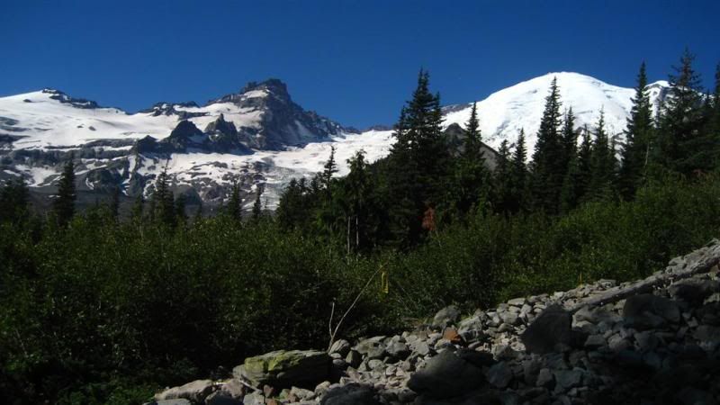
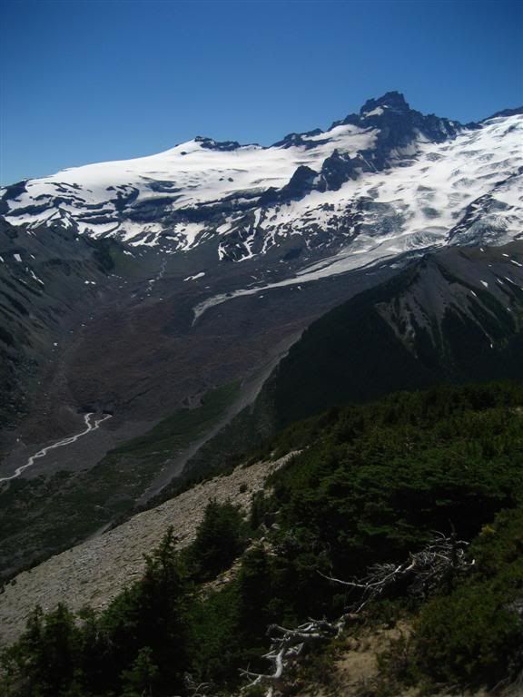
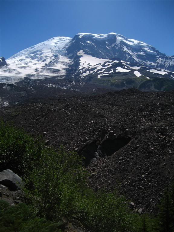
At the top there is a fantastic view of Mt. Rainier over Olallie lake, I wish I had my camera setup a little better, it was such a clear view!


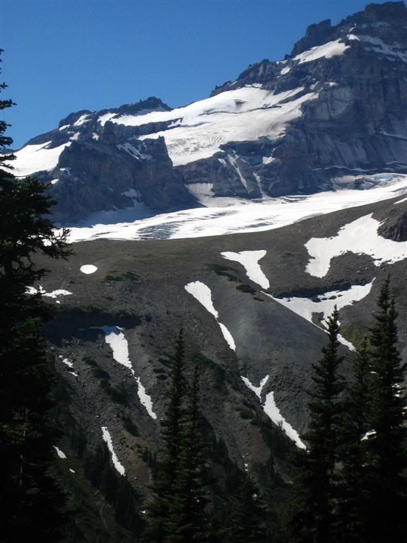
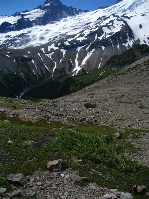
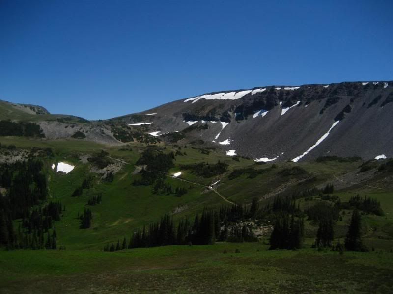
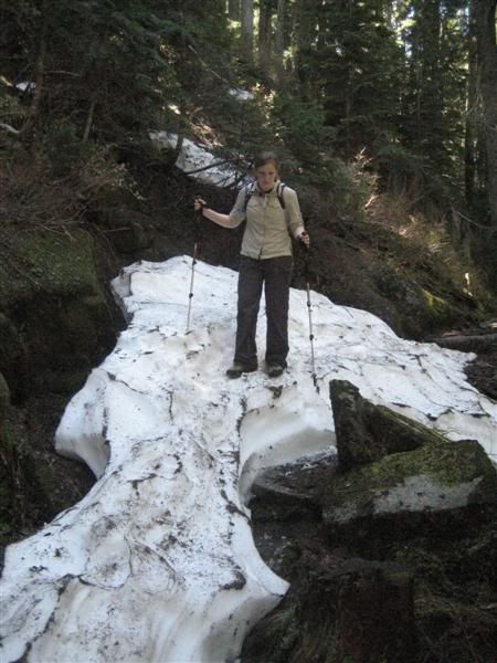
At this point the trail dives off the back side of the ridge heading toward Pratt Lake, a 700ft decline into the lake. This part of the trail hardly gets any snow as evident by the 3-4 ft in spots and having to traverse snow banks that are packed in tight against the hillside.

Here's Kristin on top of one of the many snow packs we encountered.


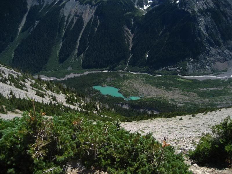
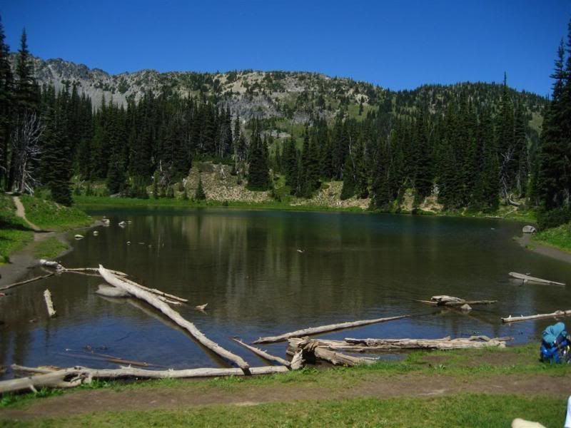
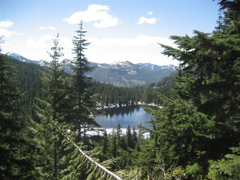
There is a lake down there!

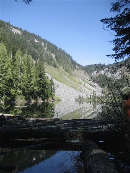
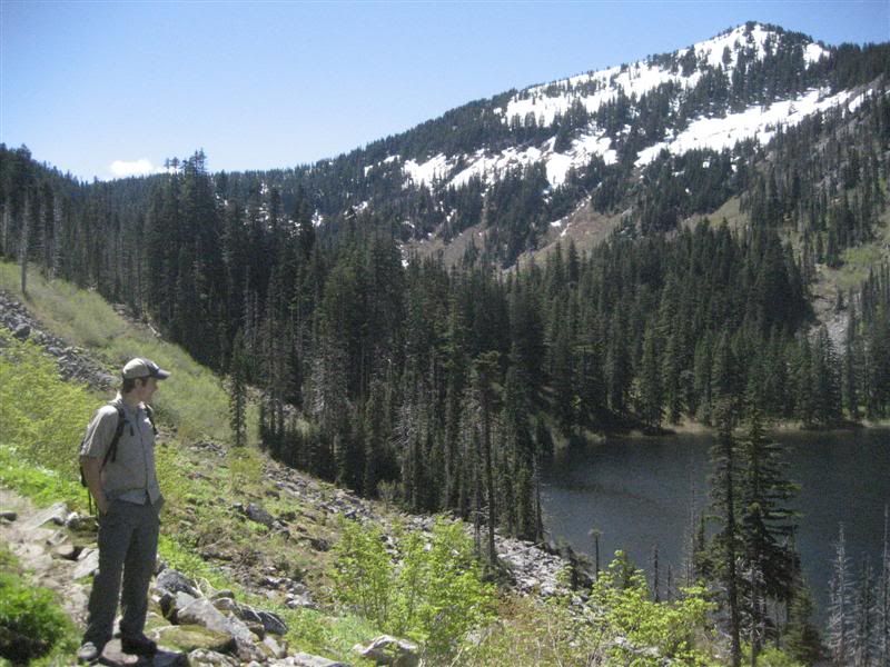
After snaking down into the valley the lake is now in front of us.

Looking back up at the trail we came down.


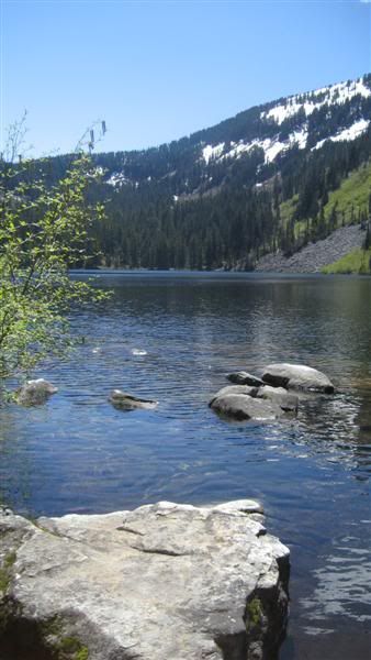
We walked to the north end of the lake and had lunch, squished sandwiches, jalepeno chips, 1/2 Snickers bar and some Pepsi!


Once we were re-fueled, we headed back up the trail. Kristin had bought some trekking poles and we have been going back and forth about how many poles to use, this is where we decided. I normally don't use trekking poles, and she was using two. So I asked to use one of hers for the trail out. I actually enjoyed using it. I had tried using two poles in the past and hated it, too much work and it takes my attention away from the sights and smells of the great outdoors! She also agreed that one pole was a good way to travel. It's just enough to keep you stable in certain situations, but not totally distract you.

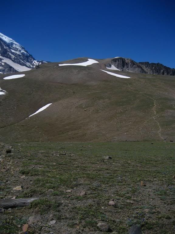
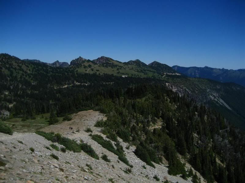
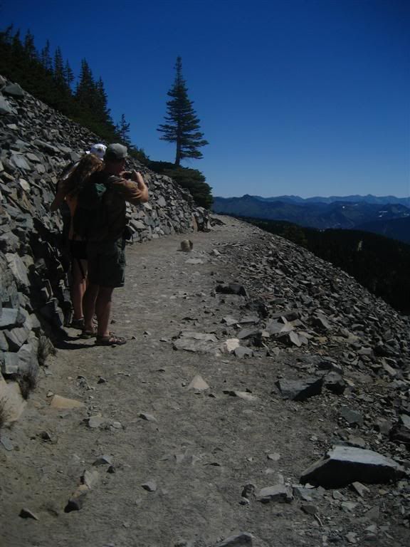
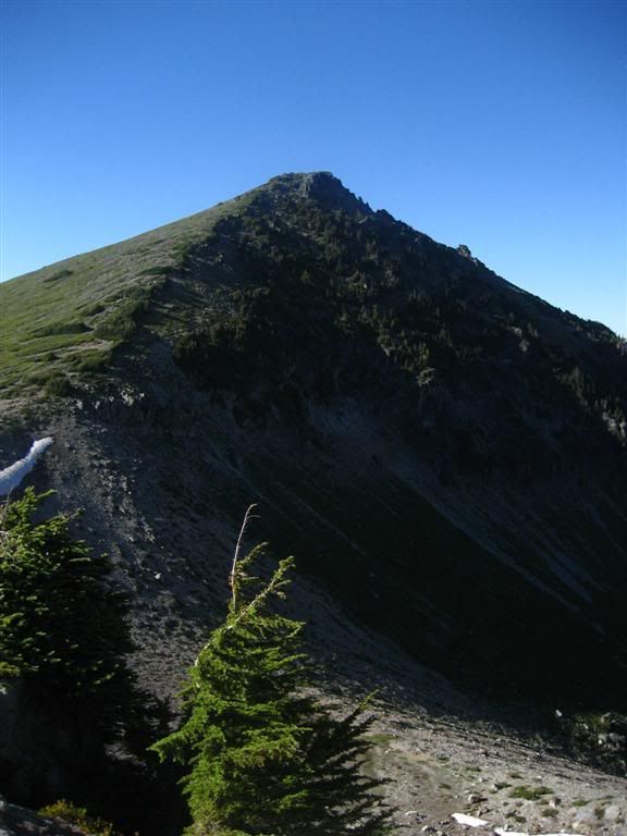
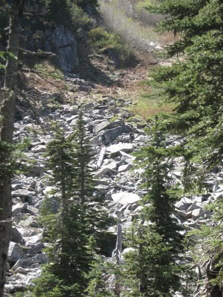
Can you spot the hikers? That's where we're headed!

Snow patches in the trees.

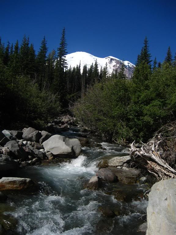
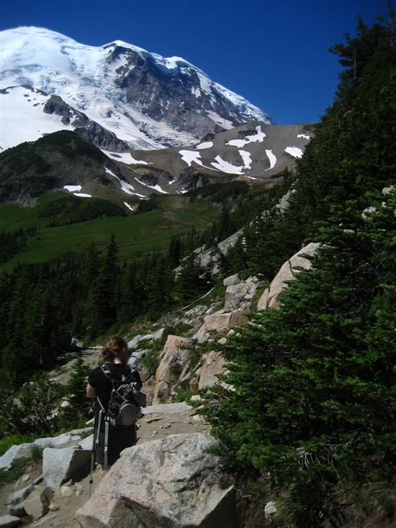
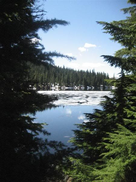
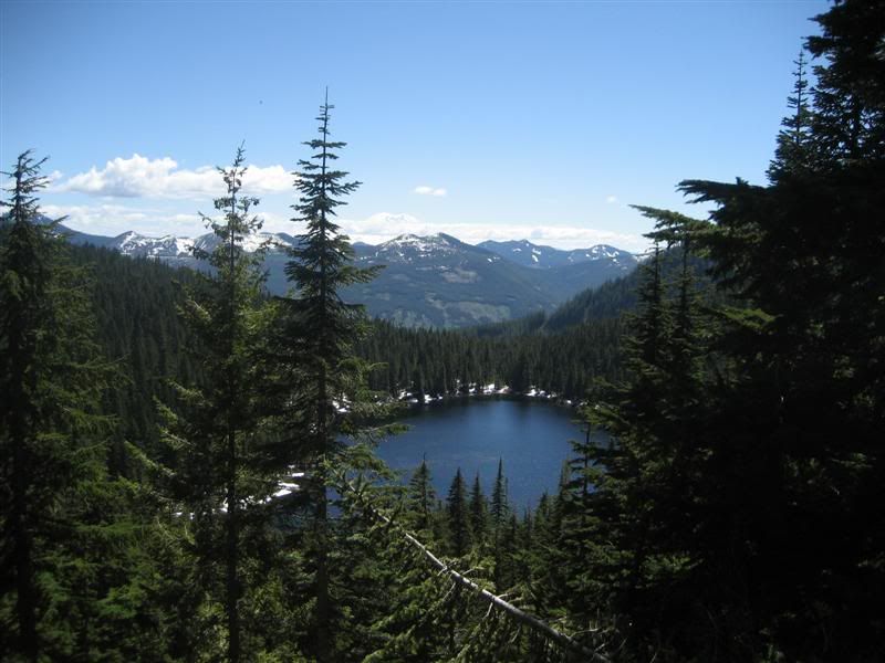
A litle better picture later in the day about Olallie Lake, you can sort of make out Mt. Rainier now. Such a view!


And this is the junction we missed on the way up the trail around the east side of Olallie Lake. The bridge had been washed out over the winter. You can see where the bridge used to be in the bottom right of the picture.

Once we got to the car, we headed for BBQ at my parents house. A good way to end any day of hiking!

Hike Stats:

Total Distance:  11 miles roundtrip.
Elevation Gain:  2,400', 700' out.

Friday, August 20, 2010

Mt. Rainier Hike 8-13-10 Day 2

After waking up stiff and sore from the day before I cooked up some eggs and bacon with OJ for myself and Raspberry Tea for Kristin. Today's hike would be a little less strenuous. We planned to hike up the Glacier Basin Trail directly out of the White River CG to Burroughs Mtn trail via a connector trail, back toward Sunrise Lodge past Shadow on the Wonderland trail and then down to White River CG. The elevation gain from the CG to the Burroughs Mtn trail  is approximately 3000 ft. in 4-5 miles, but most of the elev. gain is made in the last 2.5 miles.
About one mile in:

A lake hidden by the trees, but later seen from above.

We were passed by a group of WTA volunteers (Washington Trail Association) who were headed up to reroute a section of the Glacier Basin trail that had washed out. We talked to them at the junction of the trail reroute, we were able to use the original trail still as the new one was still in progress.

From the Washout:


Taken from atop a slide area:


It's hard to tell in this next picture but there is a zig-zag route up the side of the valley that I believe is the climbers route up the Emmons Glacier. The Glacier Basin trail is a popular entry for Climbers looking for the top!


Here is Kristin looking back at the mountain:


Looking down towards the CG:


Transitioning from the forest trees to alpine rocks:


Near the Junction atop Burroughs Mtn, still not on top of Burroughs though.

The trail ahead:


Looking towards the 3rd Burroughs, this overlooks the Winthrop Glacier and Mystic Lake:


The lake(pond) hidden by trees on the Glacier Basin trail:


Emmons Glacier


Sunrise Lodge in the distance:


Burroughs Mtn Sign near Shadow lake:


Shadow Lake:
On the ridge behind the lake is the trail we hiked on the previous day.

About this time we hit the junction to follow the Wonderland Trail down to White River CG. We also ran into the two boys from the previous day. They had stopped in at Sunrise and were on there way to the CG as well for their next stop. They said the hike out of the valley was tough, but they were still hiking faster than us down the trail!


Our trail guide for about 100 yards:

After another long day of hiking and enjoying the sun, we were tired and relieved to make it back into camp, we again passed the two boys who were now setting up camp, we exchanged waves and headed onto our camp.

Mt. Rainier Hike 8-13-10 Day 1

So I went hiking and camping with my girlfriend Kristin last weekend. Celebrating 6 years of dating (her tolerating me!) We camped at White River campground in the north-east corner of the Mt Rainier National Park.

We arrived at camp around 9am only to find a full campground. We circle through all the camp loops with much dissappointment. Every last campsite was full. We eventually made a second pass through Loop D and saw a family tossing gear into a subaru. We stopped and asked if they were leaving and thankfully they were. I parked and got our spot paid for the night. It ended up being an awesome spot tucked into the trees away from other campers who were a bit rowdy. We set up camp and set off for Sunrise Lodge and a day of hiking.


We looked on the map and decided we would try getting to Mystic Lake. Thinking it was a little close than 21 miles round trip!

Here is a picture of Rainier from the Lodge on our way up the trail:

About 1 mile into the hike we stopped for a Marmot carrying it's baby in it's mouth. It walked within kicking distance of us on the trail as it meandered on carrying it's young. I didnt take a picture until after it went by, I wasnt sure if it was going to try running up my leg or just pass by...thankfully the latter.

About 2-3miles in we'd past the Burroughs Mtn trail and headed on the Wonderland Trail to our destination. This picture is looking back down the trail. The trail down the valley is to Berkeley Park, to the right at the base of the rocky "hill" is the Wonderland Trail and on the backside of the "hill" is the Burroughs Mtn trail.
Around the ridge on the Wonderland Trail at the base of Skyrscraper Peak.
Skyscraper Peak behind us.

About 2.5 miles further we passed through Granite Creek camp, a small backcountry camp for the adventuresome. Another 1-2 miles down we hear a crashing in the distance and see dust coming from a portion of the Winthrop Glacier that is now in front of us. From the sun melting the glacier, it was causing boulders to crash down the side and make a spectacular scene.
Winthrop Glacier below Mt Rainier
Glacier flow:
After following the trail downhill further we made it to the where we would eventually turn around as it was getting later in the day and we still had 8-9 miles to go back to the lodge. Garda Falls.

After eating a lunch of squished turkey and provolone "sammich", Snicker bar and an apple, washed down with luke warm water, it was time to head back. While we were eating lunch a couple younger boys walked by with large packs heading up the trail we came down. We eventually caught up with them and chatted with them a little. They looked tired and asked how far to Granite Creek CG (campground). I told them it was another 1-1.5 miles and it was steep all the way. I don't think it was a morale booster!

When we got within 2 miles of the lodge I looked on the hillside and saw a group of white rocks. they weren't rocks, they were goats! I have never seen such a large group of goats before, 20-30 at least! They were near the ridgeline and feeding their way over the top.


A lone deer grazing:
Once back at the truck we figured we hiked for 17 miles total, assuming we were 2 miles from the lake on a 21 mile roundtrip journey. It was time to head back to camp to rest our bones by the fire for the next mornings hike.

Story Telling

One of my favorite things to do is tell a good (or bad) story. I'm pretty sure people get sick of hearing the same story over and over because I can't remember who i told....BUT I want to tell it again! Maybe this will help me remember what stories I've told and what I haven't.

Thanks for listening,
Aaron

Never let the truth get in the way of a good story either!